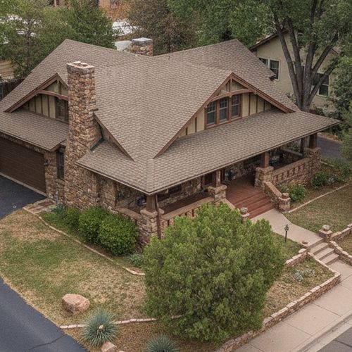


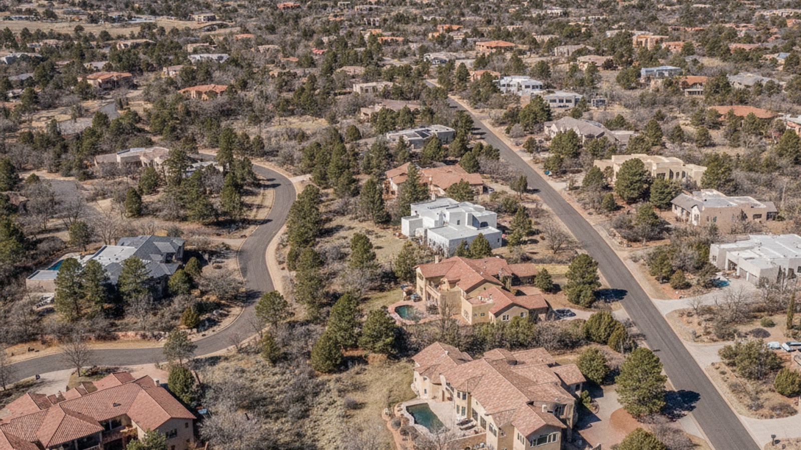
Prescott, AZ sits at an elevation of 5,200 feet, surrounded by the Prescott National Forest and spread across a varied topography. The city's layout blends a dense historic downtown grid with suburban neighborhoods stretching out toward Prescott Valley and Chino Valley. When buying a house here, the best real estate agent in Prescott AZ can help you evaluate which area best suits your daily commute.
For homebuyers considering moving to Prescott and visitors, getting around requires understanding the local highway network and transit services. While a personal vehicle remains the primary mode of transportation for most residents, recent expansions in micro-transit and regional flight options offer alternatives to driving.
Roadways and Commute Times in the Tri-City Area
Most daily travel in Yavapai County, Arizona centers around three main thoroughfares: AZ-69, AZ-89, and Iron Springs Road. AZ-69 serves as the primary artery connecting Prescott to Prescott Valley, handling the bulk of commercial traffic and retail access. AZ-89 runs north toward Chino Valley, Arizona, while Iron Springs Road provides access to the western neighborhoods.
The average commute time between these tri-city locations typically ranges from 15 to 25 minutes, depending on the time of day. Residents traveling to major employment centers or medical facilities like Yavapai Regional Medical Center rarely face the gridlock seen in larger metropolitan areas. However, traffic along the AZ-69 corridor does slow down during peak afternoon hours and holiday weekends.
For trips to Phoenix, drivers take AZ-69 east to I-17 south. The drive takes about 90 to 120 minutes under normal conditions, though weekend traffic heading out of the valley can extend that time. When visiting the downtown area locally, drivers can find public parking in the Granite Street garage or along the streets branching off the Yavapai County Courthouse Plaza.
Public Transit and Micro-Transit Options
Yavapai Regional Transit operates the primary bus system connecting Prescott, Prescott Valley, and Chino Valley. The service runs four main lines: the Green, Gold, Red, and Blue routes. These routes operate on specific days of the week, with the majority of service concentrated from Monday through Friday.
Fares for the standard bus routes are $1.50 per trip, with reduced rates available for seniors, veterans, and students. All Yavapai Regional Transit vehicles are wheelchair accessible and permit service animals. Riders should check the 2026 schedule online, as route times shift based on seasonal demand and driver availability.
For more flexible travel, YAV Connect operates as an on-demand micro-transit service within designated zones. Passengers use a mobile app to request a pickup, functioning similarly to a shared ridesharing service. A standard YAV Connect ride costs $2 or less, making it an inexpensive option for running errands or reaching medical appointments.
Flights and Airport Shuttles
Ernest A. Love Field (PRC) serves as the local Prescott Regional Airport, located about eight miles north of the downtown center. The facility offers commercial flights primarily through United Airlines. These routes provide direct connections to major hubs like Denver International Airport and Los Angeles International Airport.
Flying out of PRC allows residents to bypass the drive to Phoenix, along with the associated parking fees and traffic delays. The terminal includes a single security checkpoint, meaning passengers spend far less time waiting in lines compared to larger facilities. Parking at the Prescott airport is also cheaper than long-term lots in major cities.
Travelers who need to reach Phoenix Sky Harbor International Airport without a personal vehicle can book a seat with Groome Transportation. This daily shuttle service runs multiple times a day between Prescott and the Phoenix airport. The trip takes roughly one hour and 45 minutes to two hours and 15 minutes, depending on the pickup location and I-17 traffic conditions.
Using Uber, Lyft, and Local Taxis
Ridesharing companies including Uber and Lyft operate throughout the Prescott area. Users can open their mobile app to request a ride from the downtown district, local residential neighborhoods, or the regional airport. However, the pool of available drivers is smaller than what you would find in a major city.
Wait times for an on-demand pickup often range from 15 to 30 minutes, especially during early morning or late evening hours. Riders should use the app to check fare estimates and driver availability before finalizing their travel plans. Prices surge during major local events around Whiskey Row or the courthouse.
Several local taxi companies, such as Ride Prescott, provide alternative transportation services. These local fleets are useful for scheduling early morning airport dropoffs or medical transport where a guaranteed pickup time is required. Booking these services a day in advance ensures a vehicle will be ready when you need it.
Walkability and Cycling Infrastructure
Prescott carries a citywide Walk Score of 25, categorizing the broader municipality as car-dependent. Most residential neighborhoods feature winding roads and elevation changes that make long-distance walking impractical for daily errands. Residents living in the outer subdivisions rely on personal vehicles or public transportation to reach grocery stores and shopping centers.
The immediate downtown area presents a stark contrast to the rest of the city. The blocks surrounding the Yavapai County Courthouse Plaza and Whiskey Row earn ratings closer to a walker's paradise. Pedestrians looking for things to do in Prescott can easily reach restaurants, local shops, and community events on foot within this historic grid.
Cyclists use a network of dedicated bike lanes and multi-use paths to travel between neighborhoods. The Peavine National Recreation Trail and the Iron King Trail connect Prescott and Prescott Valley, offering miles of paved and unpaved routes. These trails serve both recreational riders and commuters looking for an alternative way to travel across the county.
Common Questions About Local Transit
Is there free public transportation in Prescott, AZ?
Most public transit in the area requires a fare, though rates are low. Standard bus rides cost $1.50, and YAV Connect micro-transit trips max out around $2. Veterans and seniors can often secure discounted or subsidized passes through local community programs.
Does Prescott have Uber or Lyft?
Both Uber and Lyft operate across Yavapai County, Arizona. You can secure a ride to local restaurants or the airport, but you should anticipate wait times of up to 30 minutes. The driver pool shrinks considerably late at night.
Is Prescott, Arizona walkable?
Walkability depends entirely on your specific neighborhood. The downtown blocks near the courthouse are extremely pedestrian-friendly, with flat sidewalks and close retail access. The outer subdivisions and hillside areas require a car for daily tasks.
How can I get from Prescott to Phoenix Sky Harbor airport?
You can drive south on I-17, which takes roughly two hours. If you prefer not to drive, Groome Transportation provides a direct shuttle service. The shuttle runs multiple times a day and picks up passengers at several designated spots in town.
Check out this article next